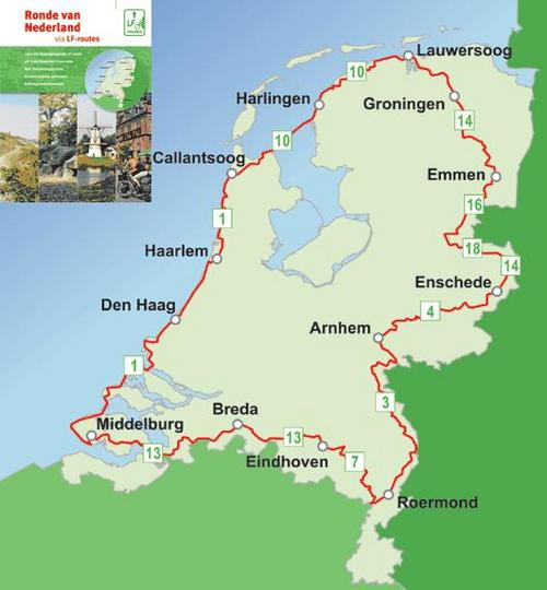
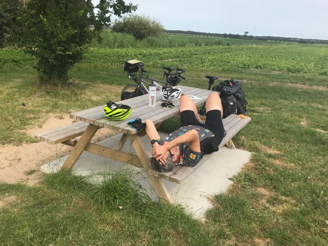
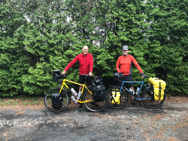
For some mysterious reason, we seem to have bumped up our mileage this trip. Might it be the Ronde Van De Nederland imperative? Did I not say that we were deadline driven? In eleven days, we have cycled 682 km (422 miles, for the metrically challenged). It took us seventeen days to do that during our 2015 German Tour and we’re not getting any younger. We’re both achy and tired … and trying to figure out if this is great fun or a bit of a slog. It’s not that we can’t do it, but rather that we might not want to do it. Jeff is looking at the map as I write this. For now, we’ll continue onto Arnhem as planned and re-evaluate from there.
Tonight we are in a country hotel outside of Vorden – a small village known for its castles. After hours of searching, we were stunned to find nowhere to stay in Vorden or most of the surrounding area. Really? Is this such a hot spot? It’s not even mentioned in the Lonely Planet guide. As it turns out, there’s an Arabian Horse Festival in a nearby town. Who knew? We were lucky to find the place we’re in tonight. It’s a few kilometers outside of town, in farm country and appears to cater to bike tourists. They fed us a vegetarian meal, washed our clothes and had screens on the windows. We couldn’t ask for more!


The previous day was the one that wiped us out – 95 km (nearly 60 miles), with lots of cycling on challenging narrow, sandy paths. A day later, our bodies are still grousing at us. That ride took us to Enschede, a non-touristy city that doesn’t see many Americans. In fact, we haven’t heard an American accent in over a week. Americans go to Amsterdam, Den Haag, Rotterdam … not to the east side of the country. One of the ‘Friends of Cyclists’ hosts commented that she had been hosting for 20 years, and we were the first Americans to stay in her house.

We had planned to go to Nijmegen after Arnhem, but once again are struggling with a place to stay – only four very expensive rooms available on a Monday night in a city of 175,000 people. What gives? You guessed it, a Festival! Such is life when impromptu-touring during high season.
And then there’s the challenge of navigating. The long-distance LF routes simplify navigation unless there’s a festival, or a detour, or a missing sign, or we missed a sign or … who knows why we’re somewhere other than the route we thought we were on. It’s tough not knowing the language, and we are utterly hopeless in Dutch. Most Dutch speak fluent English, which has allowed us to be lazy. The most basic words stump us.

One of our less successful tactics has been to ignore things we don’t understand – like the big yellow detour signs that we pass. We just continue on our way until we hit a barricade or a construction site. After getting burned too many times, we no longer ignore them, but still continue on – because we can’t read the signs. Our hope is that perhaps it’s a car-only detour that we can sneak by; sometimes that works.
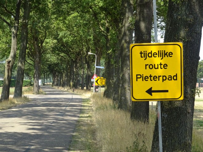
After getting lost for the umpteenth time, it suddenly dawned on me that I could import the GPX tracking data for the LF routes into Google Maps. What a boon that has been. It doesn’t prevent us from going awry, but it does make it easy to check whether we’re off the route and if so, to find our way back onto it.
So, for now, we head on. I’ll report back once we figure out what’s next.